警报

警报

周围的看点
查看更多
打开
关闭
显示
显示
显示
显示
显示
显示
显示
显示
显示
显示
显示

Oups... 看来 Cirkwi 没有权限使用您的位置。

Presentation
地图
兴趣点
评级和评论
周围的看点

Le pont de la Flée

Le pont de la Flée
Le pont de la Flée
Le pont de la Flée
Le pont de la Flée
Le pont de la Flée
Le pont de la Flée
Le pont de la Flée
Le pont de la Flée
Le pont de la Flée
Le pont de la Flée

技术信息

徒步
难度
非常容易
持续时间
2h10mn
距离
4 km
显示更多信息

高程剖面

起点

Départ : parking de Lintre - Phiterne route de Sainte-Anne , 74700   Sallanches
Lat : 45.937445Lng : 6.602301

兴趣点

image du object

Hiking Trail: La Gouille des Fours Lake (2030 m)

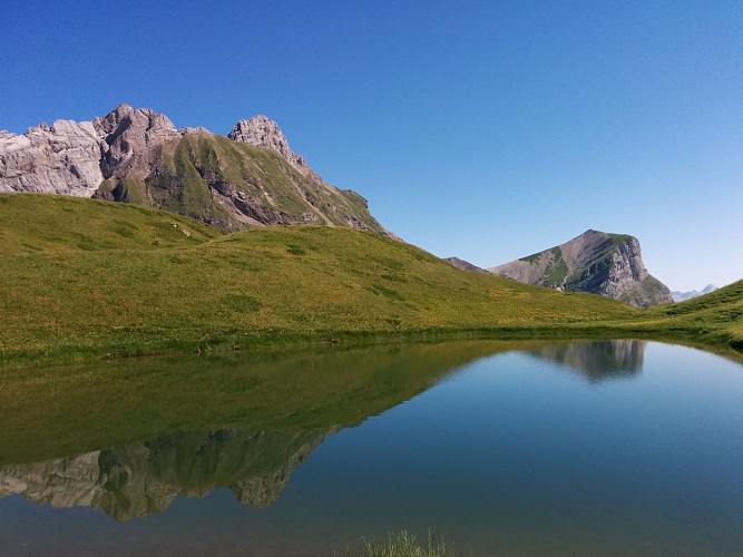
A magnificent hike for experienced walkers in the heart of the Aravis, through mountain streams, waterfalls and alpine meadows, to the famous Gouille des Fours at 2,030 m. The loop return via the Col de Portette and Pierre Fendue offers beautiful panoramic views.Starting from the Lintre, Phiterne car park, this long loop takes you into a wild valley in the Aravis. The route climbs through the alpine meadows of Couterre and Marcolaz before reaching Lanchéron. The climb then becomes steeper and more rugged, with several exposed sections equipped with cables and ladders, before continuing through the alpine meadows towards Les Fours. The route then crosses a vast, lush green valley to the famous Gouille des Fours, at an altitude of 2,030 m. This small mountain pool, well known to the people of Sallanches, is associated with many local legends. Other small pools and wetlands can be found throughout the valley. When mist envelops the valley, the landscape takes on an almost mystical atmosphere, inviting the imagination to run wild. From the Gouille, the route continues to the Col de Portette, at 2,128 m, where, with a little luck, you may spot bearded vultures, chamois or ibex. The descent then leads through a vast scree slope before reaching the Chalets de Cœur and the Frédys alpine pastures. The route continues to the Pierre Fendue, offering beautiful views, particularly of Mont Blanc, before gradually descending alongside the mountain streams to the Pont de la Flée and Pont de Bellecombe, then returning to the starting point. Very difficult route for experienced hikers only. Some sections are steep, rugged, exposed and potentially slippery. The sections equipped with cables and ladders require good mountain experience. Snow patches may also remain at the beginning of the season.

Départ : parking de Lintre - Phiterne Route de Sainte Anne 74700 Sallanches
- Sallanches TOURISME -
Consulter

日期和时间

  • 从 01/04/2026 到 30/11/2026
  • 从 01/04/2027 到 30/11/2027

补充信息

Environments

国内
河畔
森林位置
山景
在水边
全景

Updated by

Office de Tourisme de Sallanches - 15/10/2026
sallanchesmontblanc.com/
Report a problem

Open period

从 4月1日 到 11月30日.

Type of land

滑雪路线
土壤
砂砾
适合大轮子推车

动物

是

数据作者

32 Quai de l'Hôtel de ville 74700 74700 - SALLANCHES France

评级和评论

周围的看点
查看更多
打开
关闭
显示
显示
显示
显示
显示
显示
显示
显示
显示
显示
显示
注意!
We have no information on the difficulty of this circuit. You may encounter some surprises along the way. Before you go, please feel free to inquire more and take all necessary precautions. Have a good trip! 🌳🥾