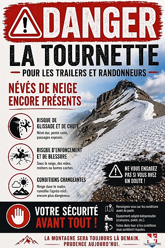
警报
警报
练习类型
徒步
困难
6h30mn
Presentation
地图
评级和评论
周围的看点
La Tournette depuis le Col de l'Aulp


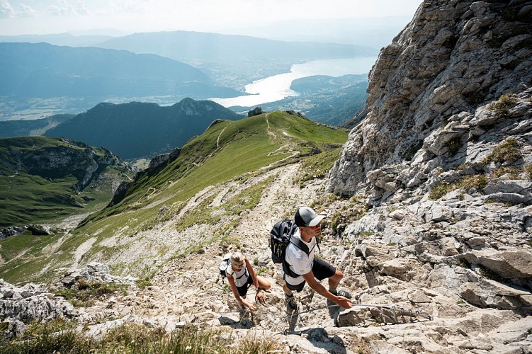

信用 : Peignée Verticale / T. Nalet
技术信息
徒步
难度
困难
持续时间
6h30mn
距离
13 km
练习类型
徒步
困难
6h30mn
显示更多信息
高程剖面
起点
Parking des prés ronds Montmin
,
74210
Talloires-Montmin
Lat : 45.823098Lng : 6.2632
补充信息
Environments
山景
全景
湖景
山的位置
Updated by
Office de Tourisme du Lac d'Annecy - 02/06/2026
www.lac-annecy.com
Report a problem
Open period
从 7月1日 到 10月15日 日常.
需要雪天和有利的天气条件.
Contact
Phone : 04 50 45 00 33
Email : info@lac-annecy.com
Website : https://www.lac-annecy.com
Facebook : https://www.facebook.com/lacannecy.tourisme
Type of land
岩石
碎石
土壤
砂砾
不适合推车
动物
是
数据作者

评级和评论
周围的看点