Alert
Alerts
Type of practice
Walking
Easy
5h30mn
Presentation
Map
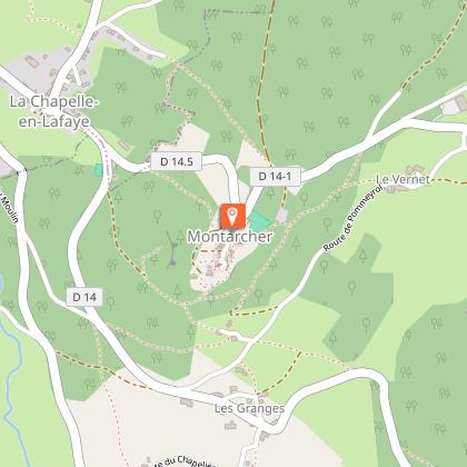
Points of interest
Ratings and reviews
See around
GR®765 Chemin de Compostelle Etape 4 - Marols - Merle-Leignec
Technical Information
Walking
Difficulty
Easy
Duration
5h30mn
Dist.
21 km
Type of practice
Walking
Easy
5h30mn
Show more
Altimetric profile
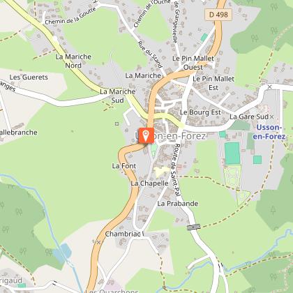
Starting point
Le Bourg
,
42560
Marols
Lat : 45.478571Lng : 4.044197
Points of interest

Additional information
Environments
За городом
В лесу
Деревня на расстоянии 2 км
Updated by
Office de Tourisme Loire Forez - 17/03/2026
www.rendezvousenforez.com
Report a problem
Open period
В течение всего года ежедневно.
Contact
Phone : 04 77 96 08 69
Email : contact@loireforez.com
Website : https://www.rendezvousenforez.com
Type of land
Булыжник
Земля
Жесткое покрытие (гудрон, цемент, помост)
Щебень
Data author

Ratings and reviews
To see around