Alert
Alerts
Type of practice
Walking
Easy
2h30mn
Presentation
Map
Points of interest
Ratings and reviews
See around
Sentier La Truche
Technical Information
Walking
Difficulty
Easy
Duration
2h30mn
Dist.
10 km
Type of practice
Walking
Easy
2h30mn
Show more
Altimetric profile
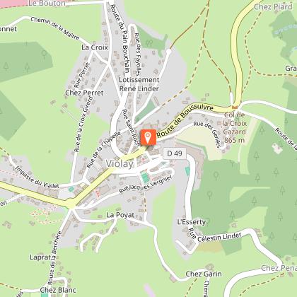
Starting point
Devant la mairie Rue Celestin Linder
,
42780
Violay
Lat : 45.852311Lng : 4.358033
Points of interest
Additional information
Environments
Маршрут G.R. менее чем в 1 км
В лесу
Деревенский центр
Updated by
Office de Tourisme Forez Est - 04/06/2026
www.rendezvousenforez.com/
Report a problem
Distinctions
Balado
Contact
Phone : 04 77 28 67 70
Email : rando@forez-est.com
Type of land
Земля
Жесткое покрытие (гудрон, цемент, помост)
Щебень
Animals
Yes
Data author

proposed by
Office de tourisme Forez-Est
125 avenue des Sources 42210 Montrond-Les-Bains France
Ratings and reviews
To see around