Alert

Alerts

To see around
See more
Open
Close
Show
Show
Show
Show
Show
Show
Show
Show
Show
Show
Show

Oups... It would appear that Cirkwi does not have permission to use your location.

Presentation
Map
Ratings and reviews
See around

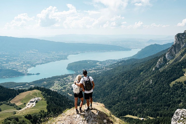
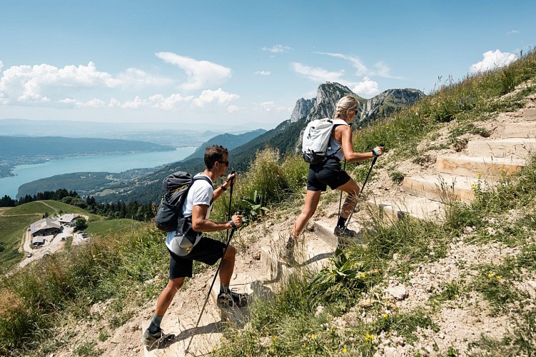
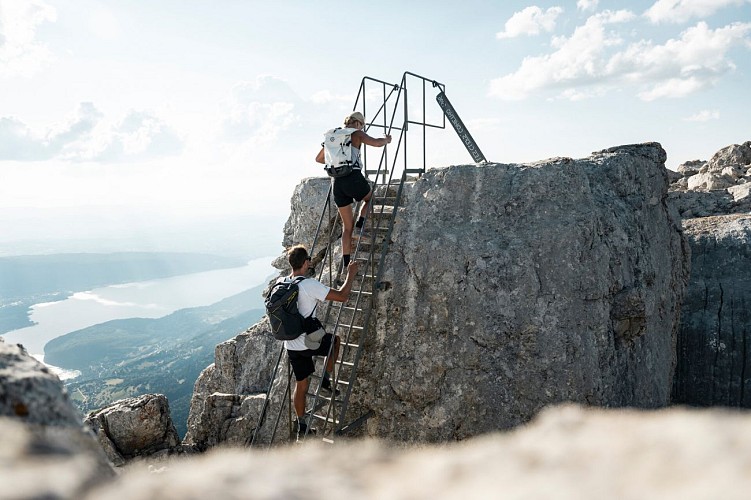
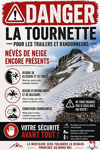
La Tournette depuis le Col de l'Aulp
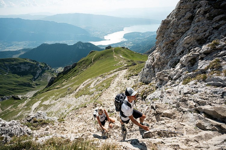
La Tournette depuis le Col de l'Aulp_Talloires-Montmin
Credit : Peignée Verticale / T. Nalet

Technical Information

Walking
Difficulty
Hard
Duration
6h30mn
Dist.
13 km
Show more

Altimetric profile

Starting point

Parking des prés ronds Montmin , 74210   Talloires-Montmin
Lat : 45.823098Lng : 6.2632

Additional information

Environments

Вид на горы
Панорамный вид
Вид на озеро
В горах

Updated by

Office de Tourisme du Lac d'Annecy - 02/06/2026
www.lac-annecy.com
Report a problem

Open period

С 01/07 до 15/10 ежедневно.

При условии достаточного снежного покрова и благоприятных погодных условий.

Contact

Phone : 04 50 45 00 33

Email : info@lac-annecy.com

Website : https://www.lac-annecy.com

Facebook : https://www.facebook.com/lacannecy.tourisme

Type of land

Скала
Булыжник
Земля
Щебень
Неприспособленный к коляскам

Animals

No

Data author

Ratings and reviews

To see around
See more
Open
Close
Show
Show
Show
Show
Show
Show
Show
Show
Show
Show
Show
Caution!
We have no information on the difficulty of this circuit. You may encounter some surprises along the way. Before you go, please feel free to inquire more and take all necessary precautions. Have a good trip! 🌳🥾