Alert
Alerts
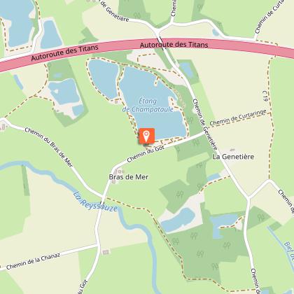
Viriat - Plan d'eau de Champataule


Technical Information
Altimetric profile
Starting point
Additional information
Updated by
Bourg-en-Bresse Destinations - Office de tourisme - 27/05/2026
www.bourgenbressedestinations.fr
Report a problem
Environments
No campo
Lago ou jato d’água a menos de 300 m
Rio a menos de 300 m
Lago ou jato d’água a menos de 5 km
Rio a menos de 5 km
Cidade a menos de 2 km
Na beira da água
Lagoa a menos de 5 km
Itinerário de ciclismo a menos de 1 km de distância
Distinctions
Listado no PDIPR
Open period
Todo o ano todos os dias.
Contact
Phone : 04 74 22 49 40
Email : accueil@bourgenbressedestinations.fr
Website : https://www.bourgenbressedestinations.fr
Facebook : https://www.facebook.com/BourgenBresseTourisme
Type of land
Terra
Revestimento duro (piche, cimento, pavimentação)
