Alert
Alerts
Type of practice
Walking
Medium
Presentation
Map
Steps
Points of interest
Ratings and reviews
See around
Atharri
Technical Information
Walking
Difficulty
Medium
Dist.
9.3 km
Type of practice
Walking
Medium
Show more
Altimetric profile
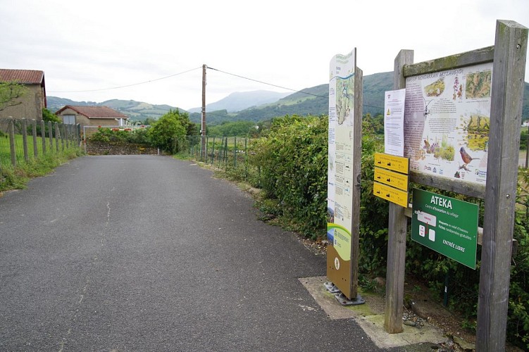
Starting point
64250
ITXASSOU
Lat : 43.3316Lng : -1.4119
Steps
Points of interest


Additional information
Balisage
Trait - Balisage directionnel sur supports locaux
Typologie de l'itinéraire
Itzulia
Thèmes
Natura (fauna, flora)
Data author

proposed by
Office de Tourisme Pays Basque
64502 France
Ratings and reviews
To see around