Alert
Alerts
The Vallon de la Capricieuse
Description
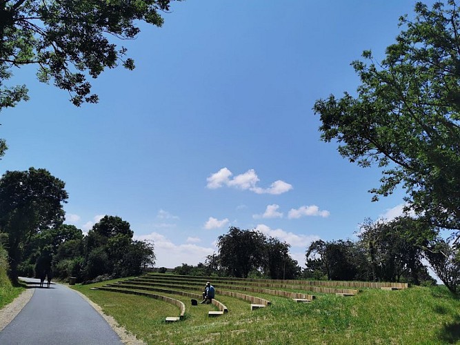
Stretching over 33 hectares, from Douvres-la-Délivrande to the seafront at Luc-sur-Mer, the Capricieuse valley has a greenway that follows the Capricieuse stream
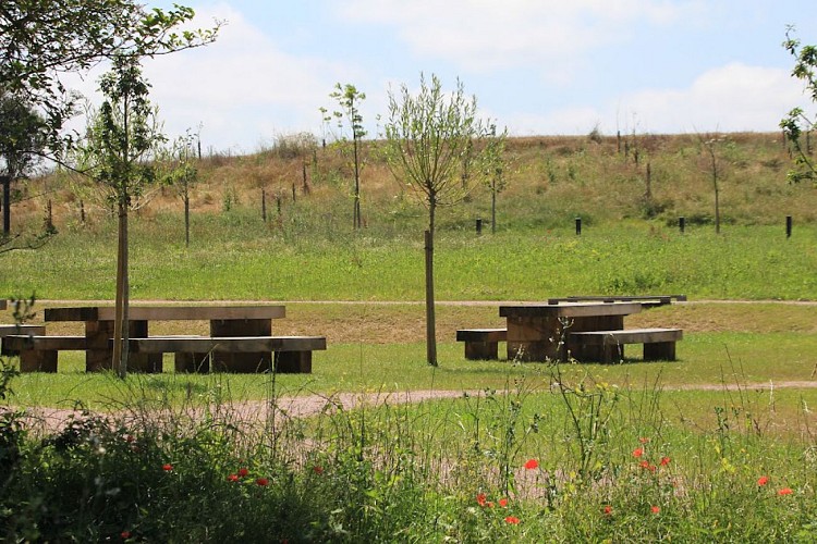
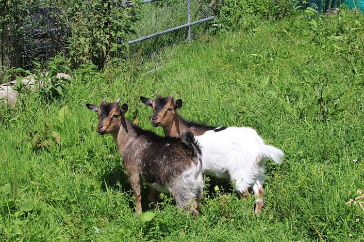
A real green artery by the sea, this accessible walk, 2.5 kilometres long (5 kilometres round trip), follows the stream of the Capricieuse. We invite you to follow this peacefully flowing stream. During this walk, meet the friendly inhabitants of the Capricieuse. Sheep, horses and donkeys welcome you and approach you as you pass. As you pass by the shared orchard, enjoy the smell of the fruit trees in bloom. Once you reach the end of the valley, you arrive at the waterfront. This greenway follows the former route of the railway line linking Caen to Courseulles-sur-Mer from 1875 to 1950.
Technical Information
Altimetric profile
Data author
