Alert
Alerts
Prin-Deyrancon ou la Guerre des boutons
Description
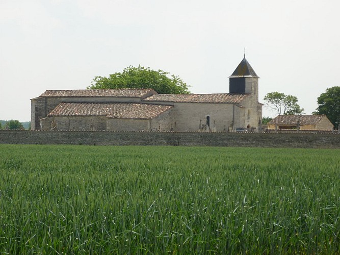
In 1402, Dey-Rançon was then the largest municipality in the department. After the Revolution, the two main villages came together to form Deyrançon. Throughout the 19th century, however, there was a strong rivalry between the inhabitants of the peat marsh and the wine-growing plain. The town hall was uncontrollable, so that Petit-Breuil became the town’s capital in 1856. To put an end to the quarrels, the Prinois demanded the following year the construction of a town hall and a school in Dey. In 1903, Deyrançon was divided into Prin-Deyrançon and Le Petit Breuil-Deyrançon. In 1971, the project to link the Petit-Breuil to Mauzé-s. -le-Mignon was completed. This peaceful village, watered by 12 km of watercourse, is the flower of the countryside and invites to long walks.
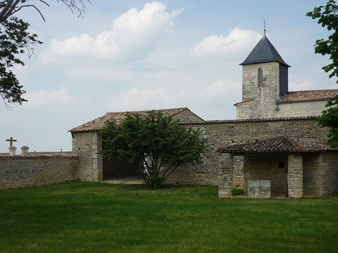
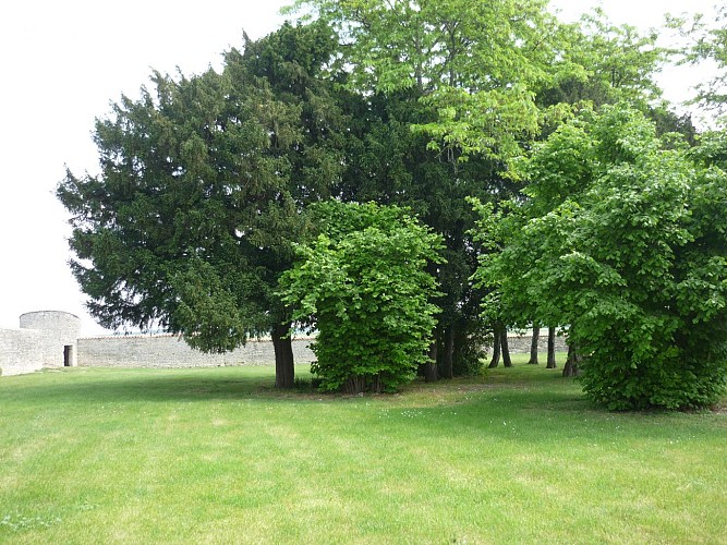
To see: Notre-Dame de Dey, wash houses, bogs of Prin, five trees classified remarkable trees of the Deux-Sèvres.
Technical Information
Altimetric profile
Additional information
Contact
Fixed telephone : +33 5 49 24 18 79
e-mail : info@niortmaraispoitevin.com
Web site (URL) : www.niortmaraispoitevin.com
Typologie de site
Town, village and district
Data author
