Alert
Alerts
Description
Map
Ratings and reviews
See around
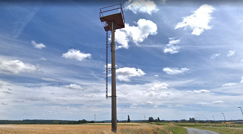
Phare aéronautique
Credit
: Street View
Description
A quoi a pu servir ce phare ?
A partir des années 1920, cette construction de plus de 7 mètres de hauteur, servait autrefois de repère à la navigation aérienne. A vue, de nuit ou par temps brumeux, il était destiné à l'Aéropostale et les premières lignes aériennes régulières (Londres-Paris). Il s'agit de l'ancêtre des moyens de radionavigation actuels et était allumé peu de temps avant le passage de l'avion, par un habitant local, qu'il soit meunier, agriculteur, instituteur ou encore garde-champêtre qui en recevait la demande par la Poste ou Télégramme.
Technical Information
Lat, Lng
48.92080733.138485
Coordinates copied
Altitude
155 m
Uncertain state
Point of Interest updated on 12/12/2019
This point of interest hasn't been updated recently, which could compromise the reliability of this information. We recommend that you inquire and take all necessary precautions. If you're the author, please verify your information.
Altimetric profile
IGN cards
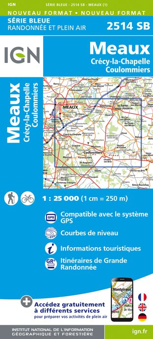
2514SB - MEAUX CRÉCY-LA-CHAPELLE COULOMMIERS
Editor : IGN
Collection : TOP 25 ET SÉRIE BLEUE
Scale : 1:25 000
13.90€

109 PARIS COMPIÈGNE PNR OISE-PAYS DE FRANCE
Editor : IGN
Collection : TOP 100
Scale : 1:100 000
8.40€
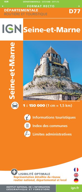
D77 SEINE-ET-MARNE
Editor : IGN
Collection : CARTES DÉPARTEMENTALES IGN
Scale : 1:150 000
5.90€

D75-95 ÎLE-DE-FRANCE OUEST
Editor : IGN
Collection : CARTES DÉPARTEMENTALES IGN
Scale : 1:150 000
5.90€
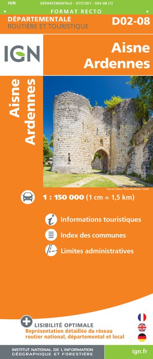
D02-08 AISNE ARDENNES
Editor : IGN
Collection : CARTES DÉPARTEMENTALES IGN
Scale : 1:150 000
5.90€

NR05 GRAND EST RECTO/VERSO MASSIF DES VOSGES ALSACE LORRAINE
Editor : IGN
Collection : CARTES RÉGIONALES IGN
Scale : 1:250 000
6.80€
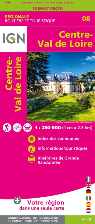
NR08 CENTRE-VAL DE LOIRE
Editor : IGN
Collection : CARTES RÉGIONALES IGN
Scale : 1:250 000
6.80€

NR04 - GRAND EST RECTO/VERSO ARDENNE CHAMPAGNE
Editor : IGN
Collection : CARTES RÉGIONALES IGN
Scale : 1:250 000
6.80€

NR03 ÍLE DE FRANCE
Editor : IGN
Collection : CARTES RÉGIONALES IGN
Scale : 1:250 000
6.80€

NR01 HAUTS-DE-FRANCE
Editor : IGN
Collection : CARTES RÉGIONALES IGN
Scale : 1:250 000
6.80€

EUROPE
Editor : IGN
Collection : DÉCOUVERTE DES PAYS DU MONDE IGN
Scale : 1:2 500 000
7.00€
Data author

proposed by
Coulommiers Pays de Brie Tourisme
7 rue du Général de Gaulle 77110 Coulommiers France
Ratings and reviews
To see around