Alert
Alerts
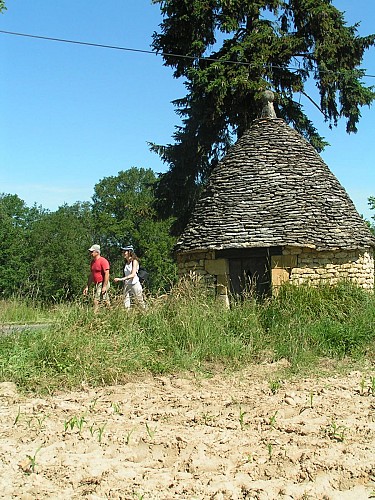
Village de la Chapelle Aubareil
Description
La Chapelle Aubareil is a charming village situated between Montignac-Lascaux and Saint Léon sur Vézère, at an altitude of 260 m.
The village is dominated by a tower, a vestige of a medieval castle about which little is known other than that the land and the lordship of La Chapelle Aubareil were acquired on 15 February 1698 by the Lord of Pelvézy.
A document shows that at that time, the castle was already in a serious state of disrepair. The dismantling of the castle must have made it possible to build the houses in the village: the corner ties, lintels and dressed stone, the arrow slits, the mullioned windows, etc. bear witness to this.
Walk through the village, with its spaces reconfigured in 2005,and discover these features along with a cross featuring Christ, a vestige of the old cemetery and the village church.
Technical Information
Altimetric profile
Additional information
Contact
Fixed telephone : +33 5 53 50 72 11
e-mail : mairie.chap@wanadoo.fr
Web site (URL) : www.la-chapelle-aubareil.fr/
Typologie de site
Town, village and district
