Alert
Alerts
Description
Map
Ratings and reviews
See around
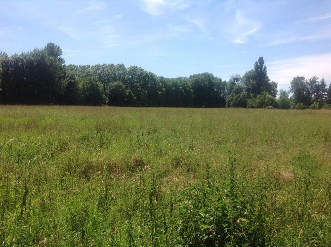
Hydrogéologie
Credit
: CD45
Description
Sous vos pieds, l'eau de la nappe phréatique se situe seulement à 80 cm au sud ou à 30 cm vers le nord. Les sols datent de l'éocène-oligocène : il s'agit du calcaire du Gâtinais composé de calcaire et de faciès marneux.
Des travaux ont été réalisés en 2018 afin de permettre en cas de montée du Puiseaux d'envahir la prairie afin de limiter les inondations. La prairie joue un rôle de bassin tampon.
Technical Information
Lat, Lng
47.987322.72826
Coordinates copied
Altitude
89 m
Uncertain state
Point of Interest updated on 03/03/2019
This point of interest hasn't been updated recently, which could compromise the reliability of this information. We recommend that you inquire and take all necessary precautions. If you're the author, please verify your information.
Altimetric profile
Data author

proposed by
Département du Loiret
Ratings and reviews
To see around