Alert
Alerts
Description
Map
Ratings and reviews
See around
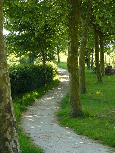
La descente de la Montagne
Description
La ville de Watten s'étend au pied de la colline et l'Aa coule dans la vallée formée entre le Mont de Watten et la forêt d'Eperlecques, hauteurs naturelles où s'arrêtait la mer autrefois. La descente par le Sentier de la Montagne, le long de la route, offre une vue étendue vers la Flandre maritime avant le retour au point de départ.
Technical Information
Lat, Lng
50.8292523720192.2184537351131
Coordinates copied
Altitude
54 m
Uncertain state
Point of Interest updated on 01/01/1970
This point of interest hasn't been updated recently, which could compromise the reliability of this information. We recommend that you inquire and take all necessary precautions. If you're the author, please verify your information.
Altimetric profile
Data author

Ratings and reviews
To see around