Alert
Alerts
Description
Map
Ratings and reviews
See around
Fontcouverte
Description
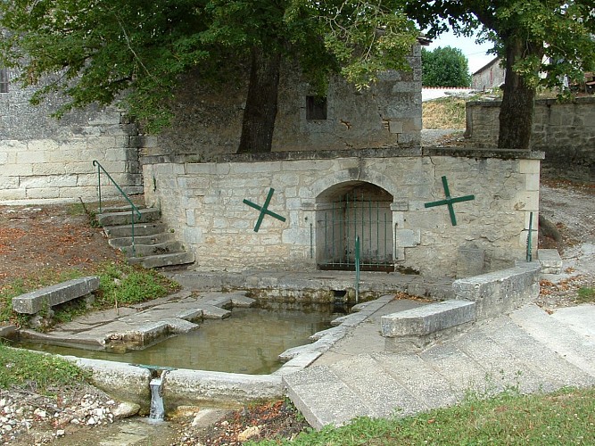
« Et si on amenait l’eau à la ville ?… » Telle est l’idée ingénieuse qu’ont eu les Romains ! Dans un paysage de vallons, aux portes de l’antique Médiolanum Santonum, c’est à Fontcouverte qu’ils décidèrent de construire un aqueduc permettant d’alimenter en eau la ville de Saintes.
On peut aujourd’hui y observer les ruines de cet aqueduc qui était alimenté par la source Font Morillon. Le petit Morillon qui part de cette source, traverse le bourg pour devenir peu après l’Escambouille, près du lavoir, pour se jeter dans la Charente à Port-Berteau.
Le village est situé sur le chemin de Compostelle, sur la voie principale qui transite par Tours, la Via Turonensis.
Technical Information
Lat, Lng
45.77204-0.59251
Coordinates copied
Altitude
32 m
Uncertain state
Point of Interest updated on 13/09/2019
This point of interest hasn't been updated recently, which could compromise the reliability of this information. We recommend that you inquire and take all necessary precautions. If you're the author, please verify your information.
Altimetric profile
Data author

proposed by
OT de Saintes et de la Saintonge
Ratings and reviews
To see around