Alert
Alerts
Description
Map
Ratings and reviews
See around
PONT DE SAINT-NAZAIRE / SAINT-BREVIN


Description
With its elegant curve and red-and-white cable-stays, the Saint-Nazaire bridge, which came into service on 18 October 1975, spans both banks of the Loire estuary. It is one of the largest cable-stayed bridges in Europe, rising 61 metres above the river and stretching 3,356 metres between Saint-Brevin and Saint-Nazaire.
Access to the bridge became free when the toll was abolished on 1 October 1994. There is a pavement on either side of the bridge so that it can be crossed on foot.
Beautiful views of the bridge from Saint-Brevin: Place Bougainville in Mindin and the Mindin lazaret footbridge.
Technical Information
Lat, Lng
47.26894-2.16208
Coordinates copied
Point of Interest updated on 12/01/2026
Altimetric profile
IGN cards
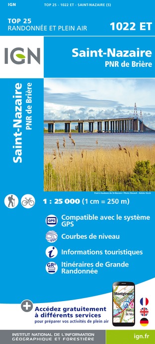
1022ET - SAINT-NAZAIRE PNR DE BRIERE
Editor : IGN
Collection : TOP 25 ET SÉRIE BLEUE
Scale : 1:25 000
13.90€

1123OT - PORNIC SAINT-BRÉVIN-LES-PINS CÔTE DE JADE
Editor : IGN
Collection : TOP 25 ET SÉRIE BLEUE
Scale : 1:25 000
13.90€
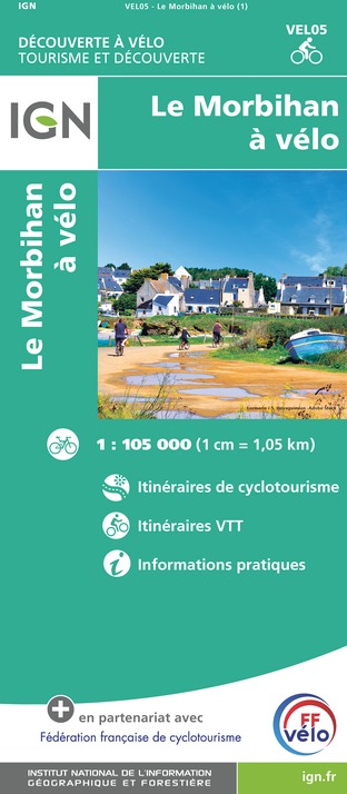
VEL05 - LE MORBIHAN À VÉLO
Editor : IGN
Collection : DECOUVERTE A VELO
Scale : 1:105 000
9.10€
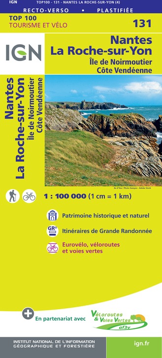
131 NANTES LA ROCHE-SUR-YON ÎLE DE NOIREMOUTIER CÔTE VENDÉENNE
Editor : IGN
Collection : TOP 100
Scale : 1:100 000
8.40€
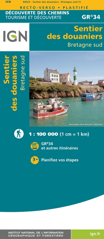
89029 - LE SENTIER DES DOUANIERS BRETAGNE SUD GR34®
Editor : IGN
Collection : DECOUVERTE DES CHEMINS
Scale : 1:100 000
9.10€

D85 VENDÉE
Editor : IGN
Collection : CARTES DÉPARTEMENTALES IGN
Scale : 1:150 000
5.90€

D44 LOIRE-ATLANTIQUE
Editor : IGN
Collection : CARTES DÉPARTEMENTALES IGN
Scale : 1:150 000
5.90€
NR06 BRETAGNE
Editor : IGN
Collection : CARTES RÉGIONALES IGN
Scale : 1:250 000
6.80€

NR07 PAYS DE LA LOIRE
Editor : IGN
Collection : CARTES RÉGIONALES IGN
Scale : 1:250 000
6.80€

801 FRANCE NORD OUEST
Editor : IGN
Collection : CARTES NATIONALES IGN
Scale : 1:320 000
6.10€

EUROPE
Editor : IGN
Collection : DÉCOUVERTE DES PAYS DU MONDE IGN
Scale : 1:2 500 000
7.00€
Data author

proposed by
e-SPRIT
Ratings and reviews
To see around