Alert
Alerts
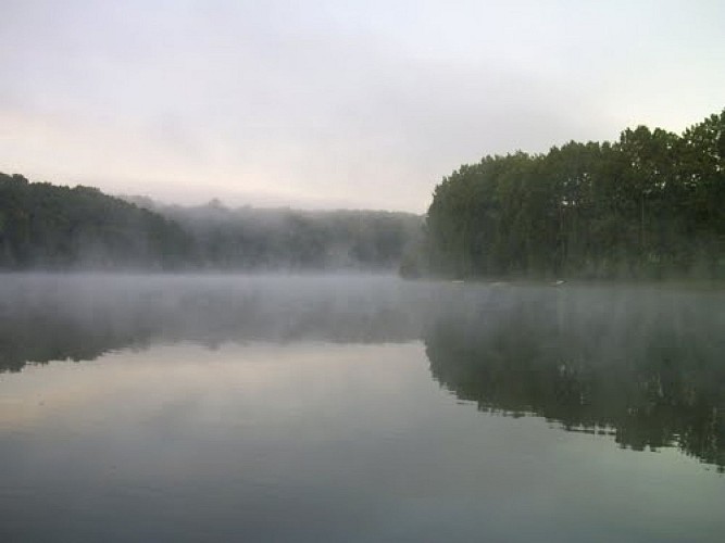
Lake Arguenon
Description
In Brittany, geology is mostly granitic. This type of under-ground carries an impermeable ground. Therefore, the Arguenon River has important meanders (unlike rivers and streams running on limestone in which water infiltrates much more easily). Therefore there are not many water tables in Brittany.
That is one of the reasons that lead the Conseil Général to vote in 1972 the building of a dam downstream from Pléven and Plorec village-centres.
Little by little a 200ha lake formed, surrounded by forest.
The dam capacity is estimated to be around 11.5 million m3. It's currently, in the Côtes d'Armor, the largest water reserve for human consumption.
The pumper water is distributed by a 356km network of pipes to all the municipalities of the Syndicat Mixte Arguenon Penthièvre (S.M.A.P.), about 115 communes, over 200,000 inhabitants during summer. Consequently, the Arguenon river provides a third of les Côtes d'Armor in drinkable water.
But, with the lake an other source of revenue appeared : leisure activities.
The lake is indeed a high place for green tourism and nature sports afficionados: bathing lake, all terrain bicycle station, hiking paths. Forbidden to all motorised vehicles, the lake is a place of quietness for all those who seek relaxation.
Technical Information
Altimetric profile
Data author
