La Croix du Traict
Description
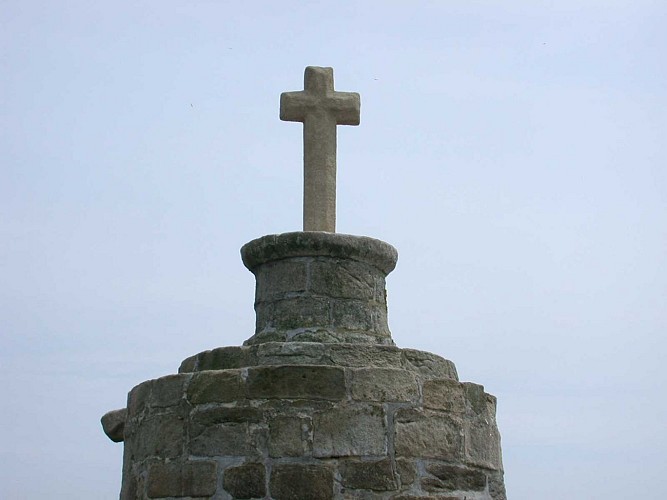
Although in the 50s research was done, this cross has no known name: the City Cross, the Cross of Kerbigo or was it dedicated to St. Christopher? Several names are advanced. The date of its construction is also doubtful ... 12th century according to some archaeologists.
As soon as we look at the Traict, we see this cross above the sands or the sea, according to the tides. After the mill on the Falaise, on the right, a path leads to the level crossing - unguarded -, to the salt marshes and to the dike. A stone wedge is there, you can go down in the Traict, at low tide of course. You walk 1.5 km, straight towards the cross, the terrain is hard, sand and mud. It is a magnificent walk in the incomparable light of the Traict.
This cross is maintained by the municipality of Batz. On some maps, it appears on the public domain of our city. It is already listed on the map BOUGUER, hydrographer of the Roy, plan raised in 1719.
This cross gave a chance to a lost traveler to found his way, to welcome a fishermen supried by a big rising tide.
Technical information
44740 BATZ-SUR-MER
Altimetric profile
Data author
