Alert
Alerts
Description
Map
Ratings and reviews
See around
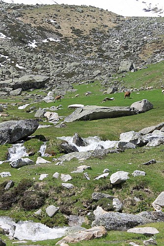
Étape 3
Credit
: OTGTPM
Description
Continuer vers le départ des télésièges en longeant la rivière en amont pendant environ 300m. Les sources de l'Adour se trouvent à la disparition du torrent.
> Pour rejoindre le col du Tourmalet, vous pouvez serpenter sous les câbles du télésiège "L'Espade" par les pelouses assez raides. Comptez 1h00 de plus A-R et 400m de dénivelé depuis la chapelle.
Technical Information
Lat, Lng
42.909250.1718
Coordinates copied
Altitude
1773 m
Uncertain state
Point of Interest updated on 10/10/2017
This point of interest hasn't been updated recently, which could compromise the reliability of this information. We recommend that you inquire and take all necessary precautions. If you're the author, please verify your information.
Altimetric profile
Data author

proposed by
Tourmalet Pic du Midi
3 Allée Tournefort 65202 Bagnères-de-Bigorre France
Ratings and reviews
To see around