Alert
Alerts
Description
Map
Ratings and reviews
See around
Étape 1
Credit
: OTGTPM
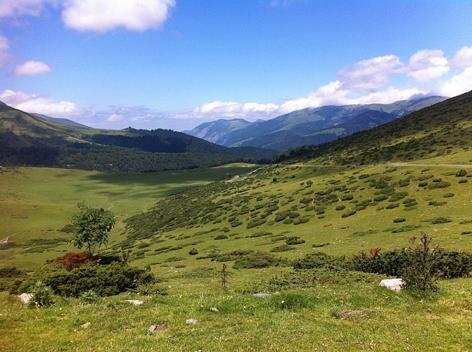
Description
De la Hourquette, descendre par la route sur 200m puis, dans le lacet en épingle, emprunter à gauche le sentier horizontal qui part en direction du sud-ouest. Franchir deux ruisseaux et monter légèrement à flanc de versant jusqu'au collet du Clot de Pourtillou.
Technical Information
Lat, Lng
42.899970.30415
Coordinates copied
Altitude
1555 m
Uncertain state
Point of Interest updated on 14/11/2017
This point of interest hasn't been updated recently, which could compromise the reliability of this information. We recommend that you inquire and take all necessary precautions. If you're the author, please verify your information.
Altimetric profile
IGN cards
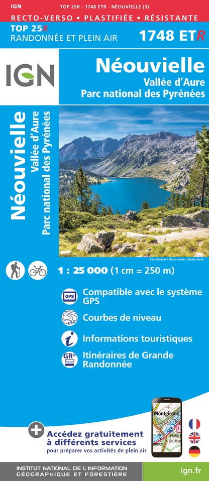
1748ETR - NEOUVIELLE RESISTANTE VALLEE D'AURE PN DES PYRENEES
Editor : IGN
Collection : TOP 25 RÉSISTANTE
Scale : 1:25 000
17.20€
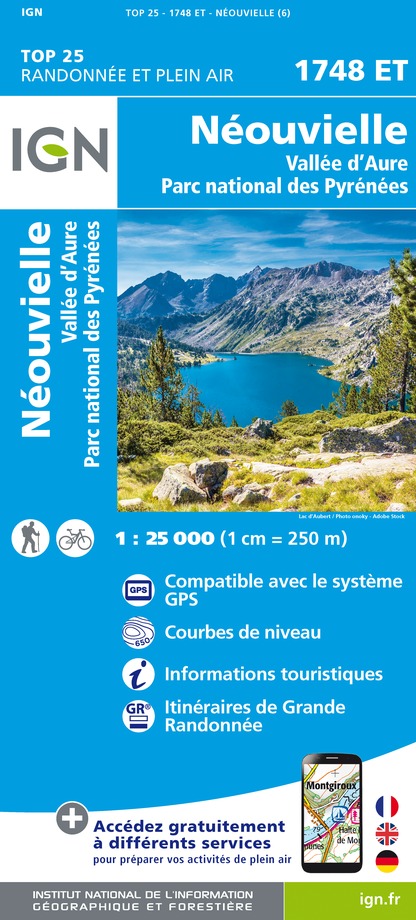
1748ET - NEOUVIELLE VALLÉE D'AURE PN DES PYRENEES
Editor : IGN
Collection : TOP 25 ET SÉRIE BLEUE
Scale : 1:25 000
13.90€
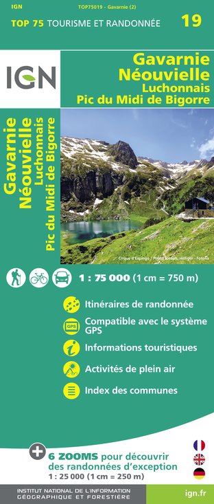
TOP75019 - GAVARNIE NEOUVIELLE LUCHONNAIS PIC DU MIDI DE BIGORRE
Editor : IGN
Collection : TOP 75
Scale : 1:75 000
9.80€

TOP100D65 - HAUTES-PYRÉNÉES TARBES LOURDES GAVARNIE NÉOUVIELLE PARC NATIONAL DES PYRÉNÉES
Editor : IGN
Collection : TOP 100
Scale : 1:100 000
8.40€

89030 - TRAVERSEE DES PYRENEES GR10®
Editor : IGN
Collection : DECOUVERTE DES CHEMINS
Scale : 1:100 000
9.10€

D64 PYRÉNÉES-ATLANTIQUES
Editor : IGN
Collection : CARTES DÉPARTEMENTALES IGN
Scale : 1:150 000
5.90€
D31-65 HAUTE-GARONNE HAUTES-PYRÉNÉES
Editor : IGN
Collection : CARTES DÉPARTEMENTALES IGN
Scale : 1:150 000
5.90€

NR10 NOUVELLE-AQUITAINE RECTO /VERSO LIMOUSIN POITOU
Editor : IGN
Collection : CARTES RÉGIONALES IGN
Scale : 1:250 000
6.80€

NR11 NOUVELLE-AQUITAINE RECTO/VERSO BASSIN AQUITAIN
Editor : IGN
Collection : CARTES RÉGIONALES IGN
Scale : 1:250 000
6.80€

EUROPE
Editor : IGN
Collection : DÉCOUVERTE DES PAYS DU MONDE IGN
Scale : 1:2 500 000
7.00€
Data author

proposed by
Tourmalet Pic du Midi
3 Allée Tournefort 65202 Bagnères-de-Bigorre France
Ratings and reviews
To see around