Alert
Alerts
Description
Map
Ratings and reviews
See around
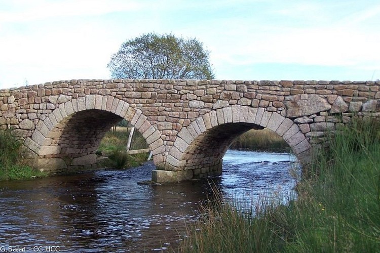
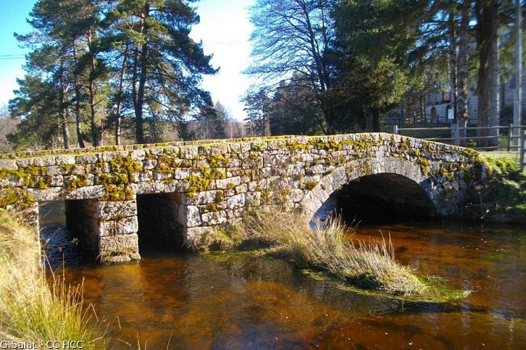
The Vienne
Credit
: G.Salat - CC HCC
Description
A tributary of the Loire, this 370 km long river has its source a few kilometres upstream from Peyrelevade (there is an interpretation circuit so you can get to know it). Classified as a Natura 2000 site, it winds through wetlands and peat bogs. Don't miss the magnificent Vinzannet and Luguet mill bridges which allow you to cross the river.
Technical Information
Lat, Lng
45.69682722.0123571
Coordinates copied
Point of Interest updated on 23/10/2026
Altimetric profile
Data author

7 route d'Aubusson 19290 Millevaches France
Ratings and reviews
To see around