Alert
Alerts
Description
Map
Ratings and reviews
See around
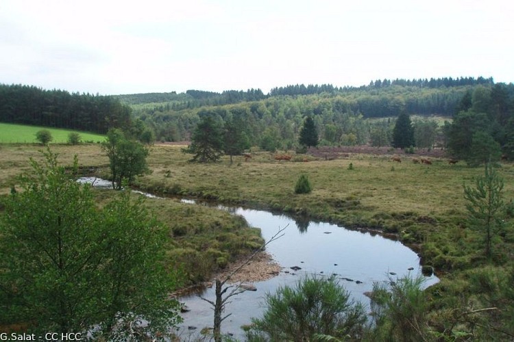
The Ars stream
Credit
: G.Salat - CC HCC
Description
Taking its source in the heart of the Plateau de Millevaches on the Longeyroux peat bog, the Ars becomes the beginning of the Vézère at its confluence with other streams at Pérols, then joins the Vézère which itself flows into the Dordogne after having travelled more than 200 km. The excellent quality of its waters is confirmed by the presence of the otter.
Technical Information
Lat, Lng
45.60007222.0016718
Coordinates copied
Point of Interest updated on 21/08/2026
Altimetric profile
Data author

7 route d'Aubusson 19290 Millevaches France
Ratings and reviews
To see around