Alert
Alerts
Description
Map
Ratings and reviews
See around
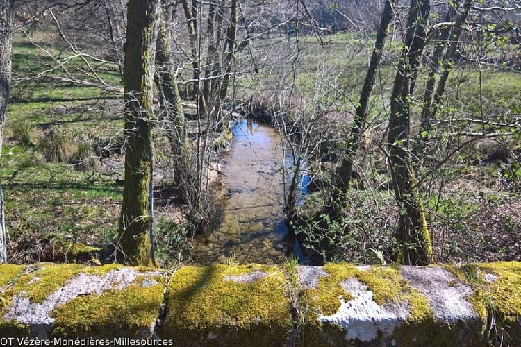
The Alembre stream
Credit
: OT Vézère-Monédières-Millesources
Description
The Alembre is known, according to the Sandre, the National Service for Water Data and Common Repositories Management, as a single stream that first originates in the Monédières massif under the name of the Galingard at nearly 810 metres above sea level, north of the Col des Géants in the commune of Veix.It passes to the south-west of the village of Lestards and continues under the name the Mill stream and then becomes the Alembre.The Alembre has five tributaries listed by the Sandre. The longest, at 5.5 kilometres, is the Monédières stream on the left bank.
Technical Information
Lat, Lng
45.50780131.8314102
Coordinates copied
Point of Interest updated on 20/11/2026
Altimetric profile
Data author

7 route d'Aubusson 19290 Millevaches France
Ratings and reviews
To see around