Alert
Alerts
Description
Map
Ratings and reviews
See around
At the roots of heritage
Credit
: Le Lac de Vassivière
Description
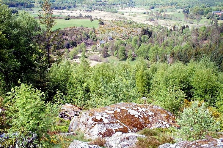
Gentioux and Pigerolles joined forces in 1972. This vast territory has a steep slope between Pigerolles; the Puy Groscher peaks at an altitude of 831 m; and the lake of Vassivière (650 m of altitude). The springs of the Maulde, Thaurion and Chandouille feed rivers much appreciated by trout fishermen. Ponds, mills and bridges dot the rivers that meander between moors, peat bogs and woods, while crosses, chapels and fountains decorate the sunken paths and old hamlets.
Technical Information
Lat, Lng
45.77207052.0132693
Coordinates copied
Point of Interest updated on 16/10/2026
Altimetric profile
Data author

7 route d'Aubusson 19290 Millevaches France
Ratings and reviews
To see around