Alert
Alerts
Description
Map
Ratings and reviews
See around
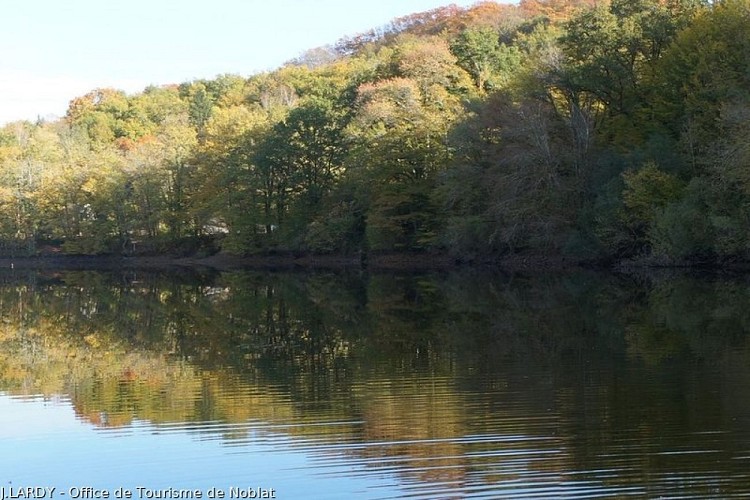
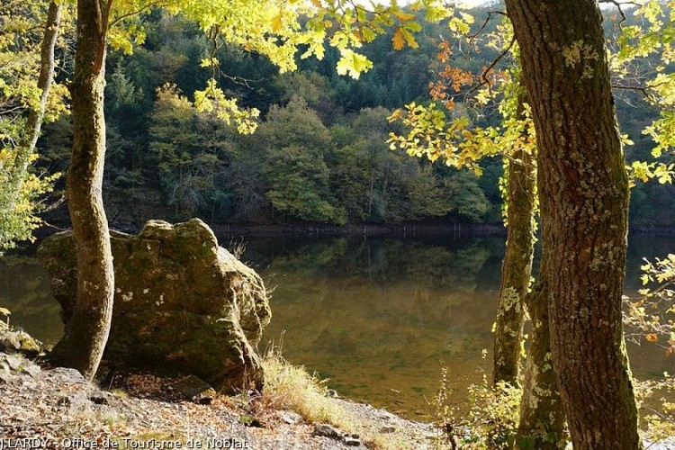
The River Taurion

Credit
: J.LARDY - Office de Tourisme de Noblat
Description
The Taurion rises on the Plateau de Millevaches, at an altitude of 785 m, covers 125 km and passes through 29 communes before flowing into the Vienne. In Saint-Martin, the Taurion is joined by several tributaries, including the Parleur in Le Bost. The high flow rate has long allowed the flotation of timber and various industrial activities: flour and paper mills, presses... and today a hydroelectric plant. The river is also very full of fish, much to the delight of fishermen.
Technical Information
Lat, Lng
45.91662131.4252519
Coordinates copied
Point of Interest updated on 18/09/2026
Altimetric profile
Data author

7 route d'Aubusson 19290 Millevaches France
Ratings and reviews
To see around