Alert
Alerts
Description
Map
Ratings and reviews
See around
The Blavet
Credit
: Lorient Agglomération
Description
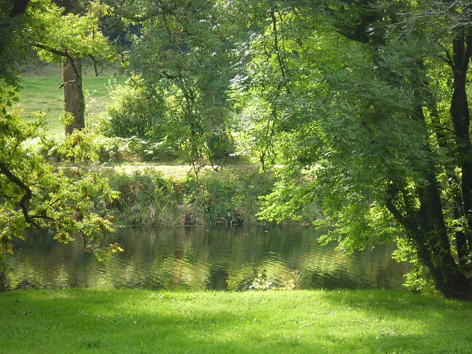
The Blavet runs for 163 kilometres from its source in Bourbriac in the Côtes-d’Armor department, to the ocean at Lorient. While channelled today, at the start of the 19th century, it looked very different with islands, meanders and steep banks. The riverbed was strewn with stones and the water was no more than 30cm deep in places. Alder, willow and ash grew on the banks among reeds and rushes. The river was however much used. There were many mills and about thirty fisheries comprised of stone dams to create bottlenecks where nets were placed at the end. Salmon pike and eel were caught during the autumn migration when they left the river to reproduce in the Sargasso Sea.
Technical Information
Lat, Lng
47.889586-3.1605649
Coordinates copied
Altitude
35 m
Point of Interest updated on 22/07/2026
Altimetric profile
Data author

Ratings and reviews
To see around