Alert
Alerts
Description
Map
Ratings and reviews
See around
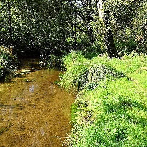
Saint-Sauveur river
Credit
: Lorient Agglomération
Description
Between here and the river Scorff, the Saint-Sauveur fed water to the four mills of Restaudran, Moustoir, Meslien and Tronchâteau. The 1843 Napoleonic land registry also reveals the presence of a fishery in this area, probably combining a stone dam and eel nets.
Technical Information
Lat, Lng
47.9000455-3.3424884
Coordinates copied
Altitude
58 m
Point of Interest updated on 21/07/2026
Altimetric profile
Data author

Ratings and reviews
To see around