Alert
Alerts
Description
Map
Ratings and reviews
See around
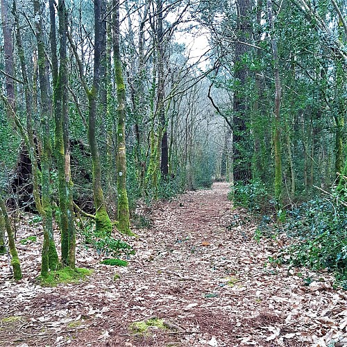
Saint-Sauveur woods
Credit
: Lorient Agglomération
Description
Once a single piece of land, cut in two by the Lorient-Roscoff road in the 1980s, the communal wood of Saint-Sauveur was once a vast moorland of some 30 hectares called “Lande du Prince”, probably in reference to the Dukes of Brittany, who held the Breton lands in the Middle Ages. Gradually wooded over the course of the 20th century, it is home, like Coët Fao wood, to local species and planted pines.
Technical Information
Lat, Lng
47.9057132-3.3466995
Coordinates copied
Altitude
85 m
Point of Interest updated on 21/07/2026
Altimetric profile
Data author

Ratings and reviews
To see around