Alert
Alerts
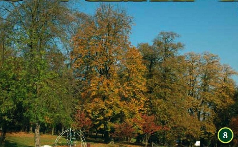
Le Parc de Tilleul
Description
A 50 mètres à droite, empruntez l'impasse Fiévet qui mène au Parc de Tilleul. [Vous pouvez en faire le tour et revenir à l'entrée pour continuer le circuit]. Descendez le chemin. Au niveau de l'arrêt de bus Trieu au vin, à droite descendez la rue d'Hautmont.
Après le virage, prenez à gauche le chemin qui descend vers la Sambre. (chemin de halage). Au niveau de la Sambre, prenez le chemin qui longe la rivière à gauche [Vous pouvez remarquer sur la gauche la Zone Humide du Pont Rouge]. Après la barrière, remontez jusqu'au pont.
Empruntez le passage piétons à votre gauche et traversez la Sambre à droite sur le trottoir pour rejoindre la bande cyclable sur le réseau Viavil à votre gauche. Cet espace est réservé aux vélos et aux bus. Continuez le en linéaire (en s'arrêtant au feu si nécessaire)
Technical Information
Altimetric profile
Data author
