Alert
Alerts
The medieval hamlet of Pontkalleg
Description
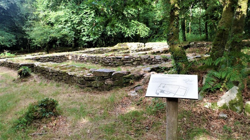
In 1281, Jean 1st, Duke of Brittany, created the Pont Caillouc castle estate. Established in Berné, it extended into the surrounding parishes. Jean II added a pond with a dike and a manor house. He also settled peasant farmers in the area. They cleared the forest and built villages and enclosures nearby. Thanks to various archaeological surveys and excavations, six enclosures and six villages containing around sixty buildings and covering an area of around eighteen hectares have been found in what is now the Pontkalleg national forest. One of these villages has been excavated and partially restored, with a guided trail to provide a better understanding of the peasant way of life in the Middle Ages. You can discover it by going up the path on your left.
