Alert
Alerts
The Scorff and Pontkalleg Valley
Description
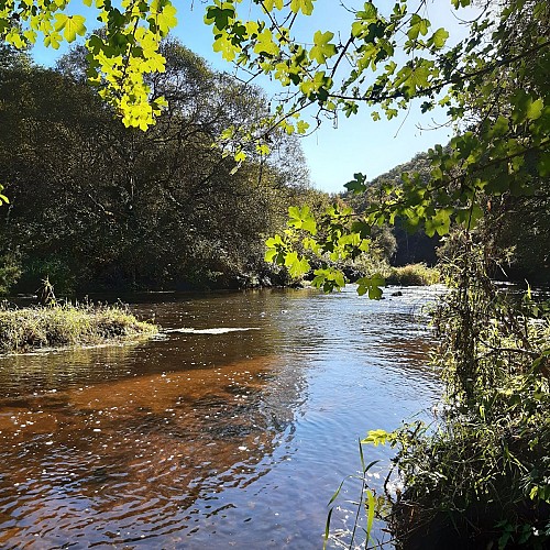
The river Scorff, 75 km long, rises in Mellionnec in the Côtes d'Armor and joins the river Blavet in the bay of Lorient before finally flowing into the Atlantic Ocean. This natural river, a Natura 2000 site protecting its species and habitats, supplies drinking water to some of the population in the greater Lorient area. A natural boundary between the parishes of Plouay and Berné, it runs through the Pontkalleg Valley, named after the ancient seigneury of Pontkalleg. Comprising two arches, the Pont Neuf was built at the end of the 19th century on the site of an earlier structure.
Since the Middle Ages, the Scorff has been exploited for its hydraulic power, with the creation of grain mills. Its name, skorv, is Breton for “sluice gate” or “pond outlet”. Its food resources were also appreciated. Under the Ancien Régime, and again in the 19th century, fisheries were built on this river to catch eels during the autumn downstream migration. Made of stone dikes, they formed a bottleneck where the fishing net was strung. Now in ruins, their remains can be seen at low water. Archaeologist Daniel Tanguy has identified six between Pont Neuf and the Coat Cren mill, and a dozen between Pont Neuf and Poulhibet.
