Alert
Alerts
Take off zone: Varan
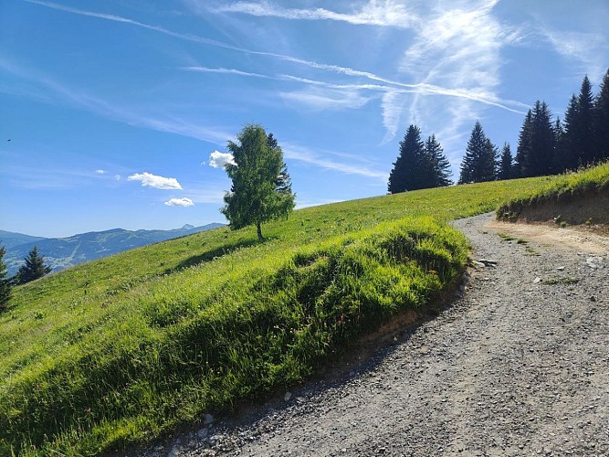
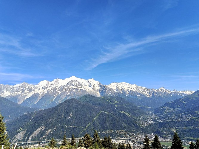
Description
Alpine take-off zone in fantastic surroundings.
GPS coordinates: N 45 ° 56'42'' - E 006 ° 40 '55''
Orientation: South-west to south-east
Elevation: 1080 to 1360 m
Layout: windsock and information panel.
Altitude: 1640 m
Flight conditions: calm in the morning, strong warm currents in the afternoon.
Danger / problems: cliff after takeoff
Level: Beginner to XC
Landing spots: Passy-Chedde and Marlioz. Possible variant: Lake Passy left of the road to Domancy at the intersection with the horse farm.
Specific rules: 4 x 4 access. Please respect the hikers.
Possible variation: Frioland, touring with take-off at 1700 m.
Technical Information
Altimetric profile
Date and time
- From 01/05/2026 to 31/10/2026
- From 01/05/2027 to 31/10/2027
Additional information
Price(s)
Free of charge
Updated by
Office de Tourisme de Passy - 20/06/2026
www.passy-mont-blanc.com/
Report a problem
Contact
Phone : 06 80 68 80 22
Email : club.mont.blanc.vol.libre@gmail.com
Website : http://www.cmbvl.fr
Tips
Discover the Varan mountain refuge hut nearby.
Location complements
Access: Bay hamlet on the road to Plateau d'Assy. Drive to the Coudray carpark and continue an hour on foot or by 4x4 vehicle.
