Alert
Alerts
Description
Map
Ratings and reviews
See around
The Blavet estuary
Credit
: Lorient Agglomération
Description
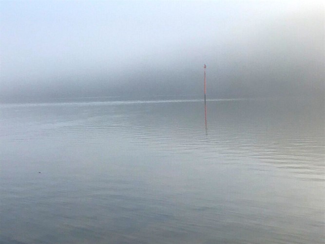
The Blavet estuary starts upstream of Hennebont, at the last lock Polvern. Here and over 15 kilometres, the river water mixes with the incoming sea. The landscape reveals this meeting between fresh and salt water. The wooded banks alternate with reedbeds and marshes, flooded during very high tides. The influence of the sea is strong here, offering a landscape of salt meadows and mudflats. Century after century, sediment has filled the bottom of the valley, giving the Blavet its meandering aspect, and allowing the mudflats to be colonised by salt-loving plants called halophiles.
Technical Information
Lat, Lng
47.7734256-3.2865214
Coordinates copied
Altitude
8 m
Point of Interest updated on 10/06/2026
Altimetric profile
Data author

Ratings and reviews
To see around