Alert
Alerts
Description
Map
Ratings and reviews
See around
Talhouët woods
Credit
: Lorient Agglomération
Description
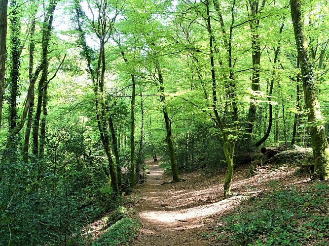
Part departmental, part communal and part private, the Talhouët wood stretches from the hamlet of La Bergerie to Le Talhouët. This hillside forest is home to local species such as beech and oak. It also conceals excavations and ruined buildings, the last traces of quarrying on both sides of the Blavet. Here, in the 19th century and the first half of the 20th century, up to 200 workers quarried high-quality blue granite to produce framing stones, paving stones, rubble and gravel. They were used to build the town of Hennebont, the canal and locks, and the railway viaduct. You can still ride along their cobblestones in a number of Breton towns and even as far away as the Champs Elysées roundabout in Paris.
Technical Information
Lat, Lng
47.8170739-3.2797837
Coordinates copied
Altitude
52 m
Point of Interest updated on 02/06/2026
Altimetric profile
Data author

Ratings and reviews
To see around