Alert
Alerts
Saint-Caradec and its church
Description
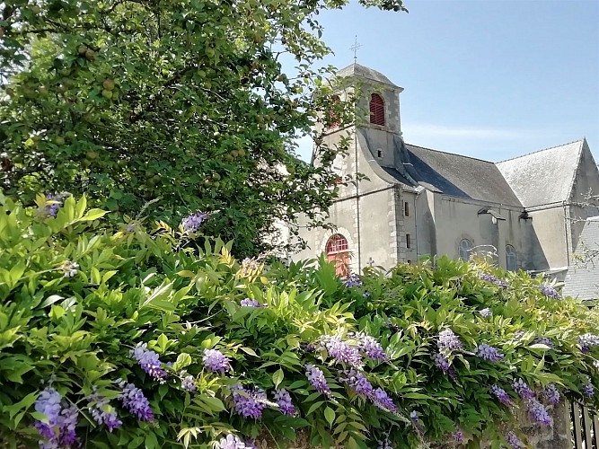
Located on the right bank of the Blavet at the foot of the ancient motte-and-bailey castle of Hennebont's Old Town, mentioned in the 11th century, the parish of Saint-Caradec was detached from Caudan in the 13th century. A small village with a square and narrow street grew up around its church. The current building, with a nave behind a tower-porch, dates from 1777.
Two side chapels were added in 1903. In the cemetery stands a venerable yew tree, almost 400 years old, and right next to it an old tomb, which tradition attributes to Saint Caradec, the Welsh evangelist who gave his name to the place. The neighbourhood still features single-storey houses from the 18th and 19th centuries, mostly rendered in pastel colours and with shuttered windows.
