Alert
Alerts
Preserving rural identity
Description
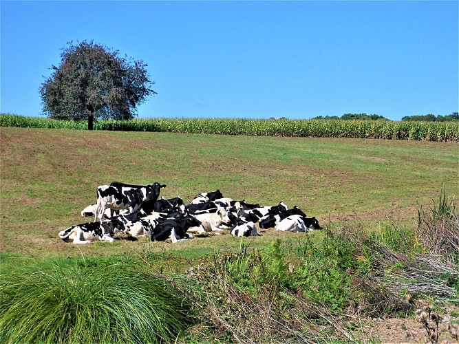
Passing along the raised railway tracks and using the stone structure to cross it, it is easy to see how much this infrastructure has divided the rural territory of Gestel in two. On this side, the open landscape, with its meadows where cows graze and vast cultivated plots, offers a panoramic view of the countryside.
It is a sign of farming and how it grew over the second half of the 20th century. While the patchwork of fields and hedges is still visible, smaller plots once surrounded with wooded embankments planted with apple trees, have been merged into larger fields, and the embankments flattened to make way for large farm machinery.
Agriculture is no longer the primary activity in Gestel, which mainly has secondary and service jobs, although a third of the territory remains listed as Useful Agricultural Surface. The town is committed to limiting future urban growth, to preserving land and farm buildings, to encouraging diversified agricultural activities, farm sales, tourism, etc.
