Alert
Alerts
The extension of Gestel
Description
A comparison of aerial views of the town of Gestel in 1950 and in 2020 reveals how much the place has changed. In 1960, the village boundaries were drawn around the church and the town hall, the roads and the railway, surrounded by meadows and cultivated fields surrounded by embankments.
Then, like communes near the main traffic routes, bordering Lorient and the seaside, Gestel grew rapidly, especially in the second half of the 20th century. Ranging from 400 to 500 people between 1793 and 1968, the population rose rapidly after 1975. It passed the 1,500 mark in 1982 and currently has 2,700 inhabitants.
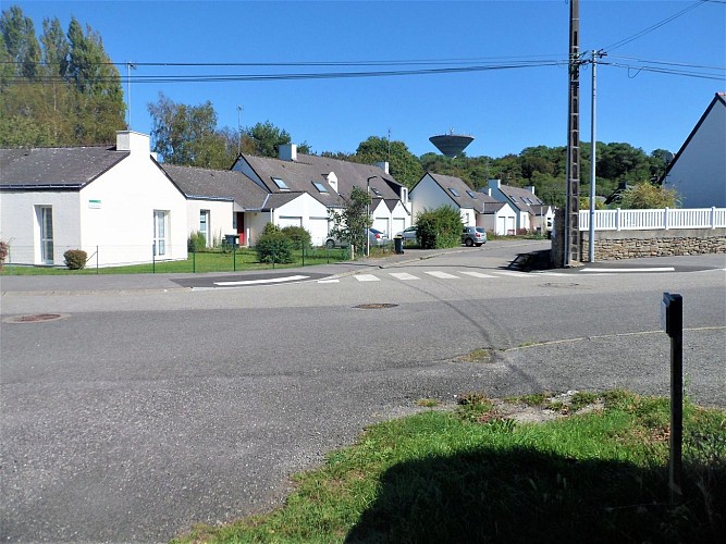
The various phases of construction can be seen in the architecture of the areas passed through. From 1960 onwards, many housing estates with detached houses with large gardens grew up on this side of the railway. Urban renewal continues today on the outskirts of the town with a variety of individual houses on smaller plots, and private and collective social housing for single-parent families and individuals.
