Alert
Alerts
Description
Map
Ratings and reviews
See around
ETAPE 4 : Gauchin-le-Gal
Description
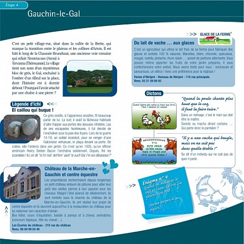
C'est un petit village-rue, situé dans la vallée de la Brette, qui marque la transition entre le plateau et les collines d'Artois. Il est bâti le long de la Chaussée Brunehaut, une ancienne voie romaine qui reliait Nemetacum (Arras) à Tervanna (Thérouanne). Le village tient son nom d'un mystérieux bloc de grès, le Gal, enchaîné à l'ombre d'un tilleul sur la place, dont l'histoire est à dormir debout ! Pourquoi l'avoir attaché par une chaîne à une pierre ?
Technical Information
Lat, Lng
50.4152.581
Coordinates copied
Uncertain state
Point of Interest updated on 01/01/1970
This point of interest hasn't been updated recently, which could compromise the reliability of this information. We recommend that you inquire and take all necessary precautions. If you're the author, please verify your information.
Altimetric profile
Data author

Ratings and reviews
To see around