Alert
Alerts
Le Plomen
Description
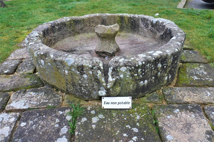
This circular basin in the middle of the square, with its Breton name “plomen”, was once supplied with water by a pipe running down from the Sainte-Hélène fountain. It supplied water to the town's inhabitants. Abbé Audo recounts that it was later used as a drinking trough for animals from the local farms, but the local population probably preferred more modern facilities such as the “Idéale” hand pump, still visible to your left in front of the house at number 1. The former rector recalls: “The faulty pipe no longer brought the water; so it was used as a stand for the town crier who made his announcements there after mass”.
It wasn't until 1965-1970 that Bubry got its own water catchment from the Kerpicaut groundwater, and a brand-new pumping station in the 2000s. Today, drinking water is managed by Lorient Agglomération. Bubry is supplied by Kerpicaut, which has been protected since 1994, and Manébail in Plouay. The remainder comes from water companies in Hennebont-Port-Louis, Baud and Ellé.
