Alert
Alerts
Description
Map
Ratings and reviews
See around
The Pathways
Credit
: Lorient Agglomération
Description
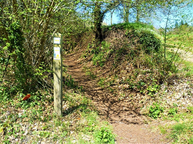
From the end of the Middle Ages, villages started to emerge with the gradual setting up of traffic routes. These routes linked the villages to the fountains, fields, manor, town, and created links between villages.The pathways were created by peasants who dug a trench and used the soil and stones to build the embankments, comprised of dry stones. Planted with trees, they took on their name of sunken paths, as they were eroded over time and dug out by the rains.
Technical Information
Lat, Lng
47.9642669-3.1771839
Coordinates copied
Altitude
115 m
Point of Interest updated on 30/04/2026
Altimetric profile
Data author

Ratings and reviews
To see around