Alert
Alerts
Changing Bocage
Description
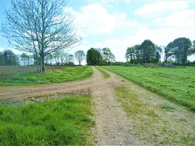
The open landscape on this plateau offers a panoramic view over the countryside around Bubry. It attests to the farming and its development over the second half of the 20th century. The fields, once surrounded with wooded embankments planted with apple trees, have been merged into large parcels, and the embankments flattened to make way for large farm machinery. Here, the checkered bocage is still visible, although interrupted by a few fields.
Hedges and embankments continue to disappear every year, although today farmers are encouraged to restore them as they hold many advantages. The protect the crops and livestock from the wind and sun, limit the evaporation of water and act as a barrier to runoff, pollution and soil erosion. They are also ecological corridors of biodiversity, preventing flooding and providing firewood.
