Alert
Alerts
Vallée de la Sarre
Description
Below is the meandering Sarre River. Rising in the Côtes d'Armor, near Lescouët-Gouarec, it flows into the Blavet at Melrand after a 35-kilometre journey. Alternating between shallows, flat currents and rapids, it is home to a large population of wild trout. The preservation of this fish probably explains why one of its upstream tributaries is one of the last refuges of a very rare freshwater mussel, the pearl mussel.
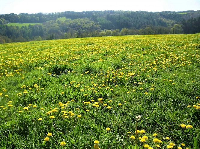
Eels were also numerous. In this area, the Saar preserves the remains of two fisheries which allowed the villagers of Stang er Borel to catch them in traps during the fall downstream. These devices were then used to channel water from the river to water and flood the meadows. Warming the earth, the water allowed early and abundant grass growth, providing quality fodder.
