Alert
Alerts
Description
Map
Ratings and reviews
See around
From Manebutur to Stang er Borel
Credit
: Lorient Agglomération
Description
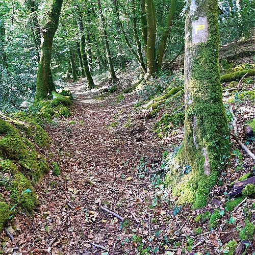
This sloping woodland below the villages of Manebutur and Stang er Borel was once essentially moorland. Traditional agriculture, poor in fertilizers, exploited all the advantages offered by nature. Here, leaves and ferns were collected for bedding. Late apples and pears were harvested. These old, hardy varieties could be kept for a long time over winter. The per segal variety was ripened in grain and the per tag variety, from the Breton word tagiñ, to choke, was eaten slowly. Further down, cows grazed in the meadows. Daily chores, however physical, became a game for the children, who were put to work at an early age. They were the ones who carried the wheelbarrows of washing up and down the slope between the village and the washhouse.
Technical Information
Lat, Lng
48.0056156-3.1374228
Coordinates copied
Altitude
101 m
Point of Interest updated on 28/04/2026
Altimetric profile
Data author

Ratings and reviews
To see around