Alert
Alerts
Description
Map
Ratings and reviews
See around
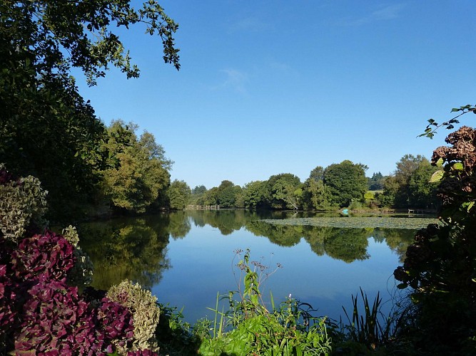
The flower pond
Credit
: Lorient Agglomération
Description
Privately owned, l'étang fleuri (the flowering lake) owes its name to the business opened in the 1980s in the adjoining house. Collecting water from several streams, the Manéantoux lake was used in the 18th century to turn the wheel of the mill below on your right. In the 19th century, the diversion channel fed a second mill downstream, known as Er Velin Huen, which has now disappeared. The first, for wheat, and the second, for buckwheat and millet, belonged to the ancient seigneury of Manéantoux. A little further on, as you cross Stanqueline, you can see its houses, barn and well dating from the second half of the 19th century.
Technical Information
Lat, Lng
47.9990615-3.1636065
Coordinates copied
Altitude
139 m
Point of Interest updated on 28/04/2026
Altimetric profile
Data author

Ratings and reviews
To see around