Alert
Alerts
The old railway
Description
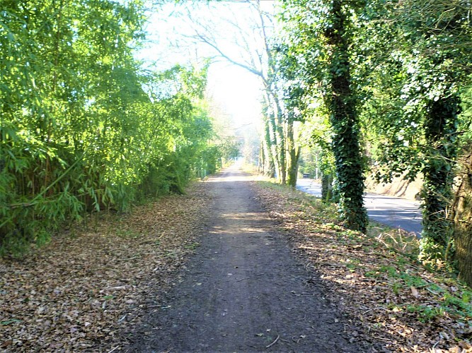
This path, and further on, the bridge over the river Scave, are the remains of the railway network built in the Morbihan department at the end of the 19th century. The train was called the “potato train” and linked Lorient with Plouay. It has many functions, carrying passengers, bags, post, animals, cereal, etc. With competition from roads, it declined around 1930 and dismantling was begun. It started up again during the war only to be removed in 1947. Since 1960, the pipe carrying water from the Scorff to supply drinking water to the town of Lorient, passes under the bridge and path. On the other side of the road, the commemorative stone Kerruisseau was erected in memory of the French and American soldiers lost on 7th August 1944 on the Lorient pocket front line in the place called Bivière en Pont-Scorff. Be careful crossing !
