Alert
Alerts
Kerscoulic Valley
Description
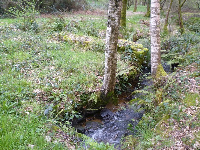
Here you are in Kerscoulic valley. To your left, in the wetland, was once the pond of the old Manehouarn mill, the last remains of which were destroyed when the large pond was dug at the end of the 19th century. On your right, in the turret, you can see the hydraulic ram that pumped water into a reservoir near the château for the estate's domestic needs. A panel explains how this process, created by Joseph de Montgolfier, works.
On either side of the creek, a buried channel was found at the top of the meadows with water reservoirs on the creek. This system of irrigated meadows, watered in winter, warmed the soil and produced abundant, tender grass. They were probably set up by Fortuné de Pluvié, who created a modern farm on the estate, described in detail in an agricultural magazine in 1853.
