Alert
Alerts
Bocage
Description
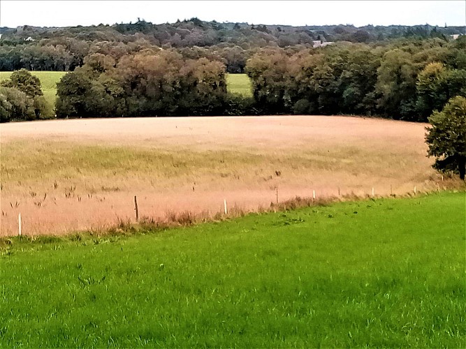
You can't help but admire the patchwork of colours and curves of the bocage landscape from this high point, where moorland still stretched around 1850. In the spring, the landscape undulates, changing from bright greens to soft greens, from blond to russet. The last embankments and woods add a dark green note beneath a vast blue sky punctuated by clouds.
The path, which already existed in 1850, leads back down to Locunel, passing near the “Bois de Taratata”. A curious name that probably has something to do with the French expression taratata, to express negation or doubt. Maybe its owner used the word extensively? Not impossible when you know that nicknames are very popular locally. When it originated in the 19th century, “taratata” imitated the sound of a bugle, announcing the arrival of a regiment. Its current meaning only came about during the 20th century.
