Alert
Alerts
Description
Map
Ratings and reviews
See around
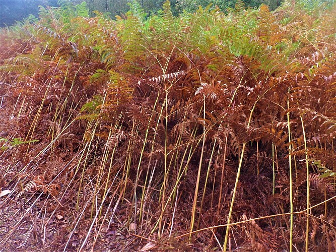
Roscouëdo heathland and woods
Credit
: Lorient Agglomération
Description
As you pass through the Roscouëdo woods, a combination of local species and pine trees, you may be lucky enough to spot roe deer. In the 19th century and up until the 1960s, this was essentially a vast moorland area, which to this day is largely owned by the inhabitants of the village of Roscouëdo. These commons have had a specific status in Brittany since the Middle Ages: often left uncultivated, all inhabitants could enjoy them freely, especially the poorest.
The heathland, or lann in Breton, dominated by broom, gorse and heather, was part of the pastoral agrarian system. It provided grazing, fodder and firewood, especially from the gorse which was planted there. Soil fertilisation has almost entirely destroyed this natural habitat.
Technical Information
Lat, Lng
47.9679665-3.2267189
Coordinates copied
Altitude
168 m
Point of Interest updated on 03/06/2026
Altimetric profile
Data author

Ratings and reviews
To see around