Alert
Alerts
Locunel
Description
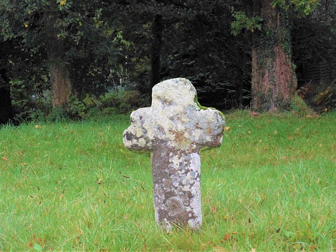
Here you are in the heart of the village of Locunel, where the Plouay-Bubry road used to run before it was straightened out in the 80s. At the side of the road, you can see a monolithic cross, clearly dating from the Middle Ages. It may have been a crossroads cross indicating the route to Lochrist chapel to the north. Oral tradition has it that there was once a chapel here too. The recent discovery of a tombstone and cross in a village garden seems to corroborate this hypothesis.
In 1843, on the Napoleonic land registry, the village comprised around thirty buildings: longères and cottages, barns and stables around courtyards and gardens, i.e. around ten farms, as well as two bread ovens and three fountains. At the far end of the village, stone dwellings and barns dating from the 18th and 19th centuries give an idea of the quality of Inguiniel's rural architectural heritage.
