Alert
Alerts
The Blavet estuary
Description
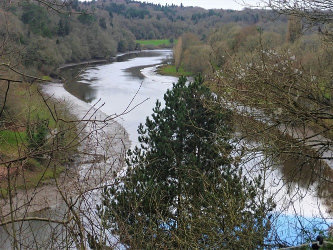
The promontory offers you a view of the Blavet estuary. We are about fifteen kilometers from Lorient. The landscape reveals the alternation of tides and the meeting between fresh and salt water, revealing mudflats and seaweed at low tide. Taking its source at Bourbriac in the Côtes d'Armor, the Blavet, with 163 kilometers of watercourses, was canalized between 1806 and 1825 and constitutes the southern section of the Nantes to Brest Canal. As far as the gates of Hennebont, bridges, ports, locks and towpaths were built to facilitate the movement of goods by barges. On this hillside once stretched out the Bois du Duc, a hunting reserve. All that remains on the slope are meadows and copses, now maintained as eco-pastures, and a 20th century fountain-washhouse complex.
