Alert
Alerts
Agriculture and Landscape
Description
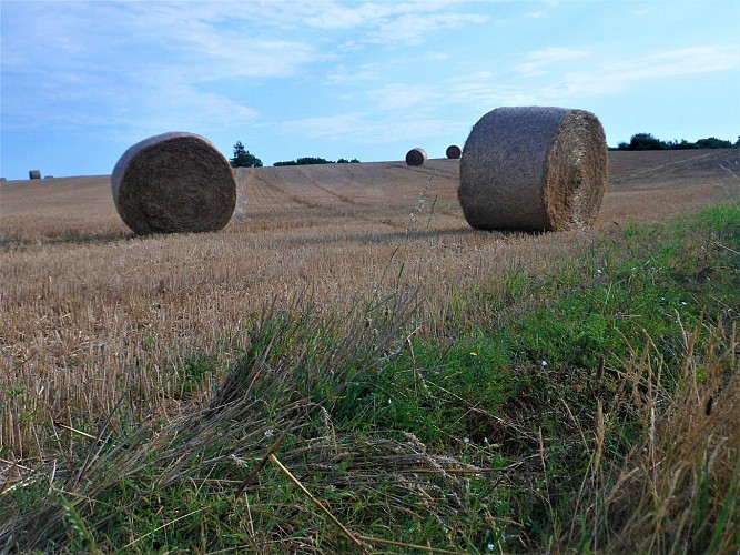
Evidence of ancient human occupation of the territory, archaeological digs have detected the presence of an Iron Age enclosure and a Gallo-Roman dwelling on this plateau. Offering an unobstructed view, it is a reminder of Caudan's agricultural vocation. In spite of urbanization, half of the land in the commune is devoted to farming, over half of which is dairy production, with the rest for crops, poultry and pig farming, and market gardening.
The open landscape bears witness to changing agriculture, especially after land reforms which, implemented in Caudan in 1967, broke up the old hedged farmland of multiple fields surrounded by embankments. These large cultivated plots of land, accessible by straight farm tracks, allowed the birth of modern mechanized and productivist agriculture. This change came with a decline in the number of farmers and the emergence of farms of up to 160 hectares, working the land as far as the neighbouring communes.
